Understanding the Terrain
The journey from Zion National Park to Bryce Canyon is relatively short in distance—just under 85 miles—but expansive in geological history. It is a masterclass in elevation and erosion. Zion sits lower, featuring massive Navajo sandstone walls carved by the Virgin River, creating deep, shaded slot canyons. Bryce Canyon, located higher on the Paunsaugunt Plateau, is actually not a true canyon at all, but a series of natural amphitheaters filled with irregular columns of rock called hoodoos, carved by frost-wedging.
Taking five to seven days to cover this area allows for the necessary hiking and observation required to truly appreciate these distinct environments without feeling rushed.
The Zion Experience: Looking Up
Your journey typically begins in Springdale, Utah, the gateway to Zion. Due to heavy visitation, Zion Canyon Scenic Drive is restricted to shuttle buses for most of the year. You will leave your vehicle behind and ride into the canyon floor, looking up at immense monoliths like the Great White Throne and Angels Landing.
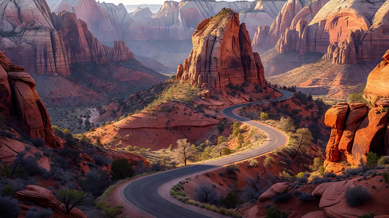
Once you retrieve your car, the true driving highlight begins: the Zion-Mount Carmel Highway (Highway 9). This road features a series of steep switchbacks climbing the canyon wall before plunging into the historic Zion-Mount Carmel Tunnel. Built in the 1920s, this 1.1-mile tunnel was an engineering marvel. It is carved straight through the sandstone mountain, with periodic "galleries" (windows) cut into the rock wall providing fleeting glimpses of the canyon below. Exiting the tunnel, the landscape instantly shifts to the Checkerboard Mesa area—slickrock formations characterized by horizontal and vertical cross-hatching.
The Transition: Driving Highway 89 & 12
After leaving Zion’s east entrance, the route turns north onto US Highway 89. The scenery softens momentarily as you pass through agricultural valleys and follow the Sevier River. The anticipation builds as you turn onto Scenic Byway 12 at Red Canyon. Before you even reach Bryce, Red Canyon offers a preview of the hoodoos in a strikingly vibrant, almost glowing red sandstone, setting the stage for the main event.
The Bryce Canyon Experience: Looking Down
Arriving at Bryce Canyon National Park, the dynamic shifts entirely. Instead of driving along a valley floor, the 18-mile Bryce Canyon Scenic Drive follows the rim of the plateau. This means you pull over at various viewpoints—Sunrise Point, Sunset Point, Inspiration Point, and Bryce Point—to look down into the sprawling amphitheaters.
The colors here are a spectrum of reds, oranges, pinks, and whites, constantly shifting with the angle of the sun. The highest elevations at the end of the road near Yovimpa Point push past 9,000 feet, where the air is noticeably thinner and cooler. Because of this elevation, Bryce Canyon has some of the darkest skies in North America, making it a premier destination for stargazing.
Practical Logistics & Vehicle Constraints
Driving this route involves several unique logistical considerations:
- Tunnel Restrictions: If you are driving an RV or a large dual-wheel truck, you must pay a fee and arrange for a ranger escort through the Zion-Mount Carmel Tunnel. Because the tunnel is narrow, rangers must stop two-way traffic so oversized vehicles can drive down the center.
- Temperature Swings: Because Bryce Canyon is significantly higher than Zion, temperatures can be 10 to 20 degrees Fahrenheit cooler. It is common to experience warm, sunny weather in Zion and find snow on the ground in Bryce during the shoulder seasons. Pack layers.
- Parking Strategies: Both parks suffer from parking congestion. In Zion, arrive at the visitor center before 8 AM, or take the shuttle from Springdale. In Bryce, parking at Sunset and Sunrise points fills rapidly; consider utilizing the Bryce Canyon shuttle system during peak summer months.
The optimal time for this drive is late spring (May) or early autumn (September to October). Summer brings intense heat to Zion and heavy crowds to both parks. Winter offers a stunning visual contrast of white snow against red rock in Bryce Canyon, but some roads and trails may be closed due to ice.